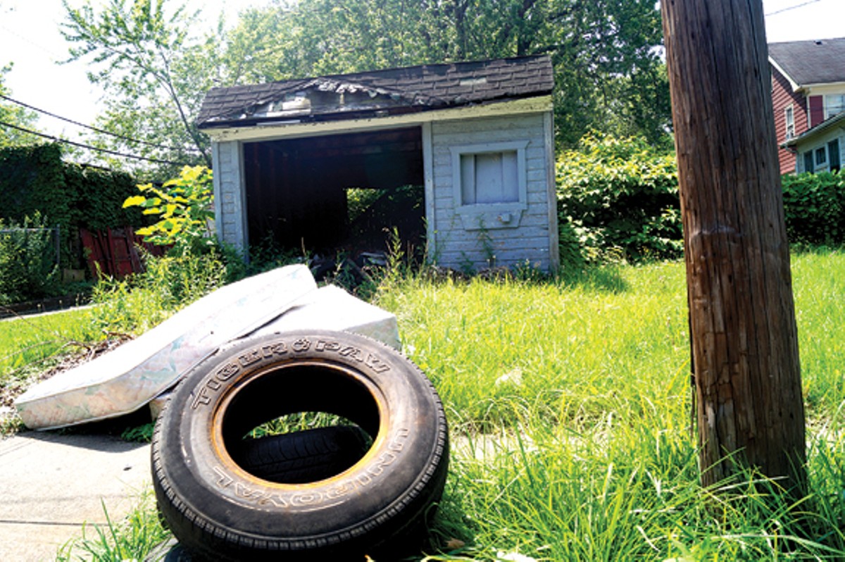
Right now, as you leaf through this edition over coffee or your morning RTA commute, 16 contract employees in orange shirts are taking inventory of every parcel of land in Cleveland. All 159,000 of them. They are the foot soldiers in an ongoing housing-crisis war. The war's opposing sides: People vs. Blight.
The latest stealth tactic from the People's high command involves getting to know the enemy. More specifically, it involves a data-driven, geographic information system (GIS) survey lately undertaken by the Thriving Communities Institute, the urban branch of the rural-exurban Western Reserve Land Conservancy, the war's local vanguard and stumping financier. The goal of the survey is to accumulate current, comprehensive data. Command wants a visually assessed, letter-graded account of Cleveland's housing stock, its vacant lots and its commercial and industrial properties. They want to know where to attack.
The 16 orange-shirted foot soldiers are a demographically motley crew. They've been contracted by TCI and serve under the daily management of Adrian Maldonado, of Adrian Maldonado & Associates, a "diverse services company." They hoof it eight hours per day in two-person teams along and athwart back-, side- and main streets, entering basic visual info about every lot they pass into a GIS database. (Is there a "For Sale / For Rent" sign in the yard? Y/N. Is the roof collapsing? Y/N. Are the windows boarded up? Y/N.)
That database is uniquely tailored from the GIS gold-standard software ESRI and monitored at intervals by TCI's GIS and conservation planning specialist Paul Boehnlein.
The per-person per-day survey goal is 150 properties.
It should go without saying that the foot soldiers' footwear is extremely sporty.
As of late June, which it now is, the foot soldiers are edging up on 25-percent coverage, having swept through Collinwood and the city's far northeast, combing through Glenville and then moving west and south toward downtown and the industrial valley.
Their temporary HQ is the Famicos Foundation, a Glenville CDC housed in the gothically significant former Lulu Diehl School on Ansel Road. It's where the foot soldiers meet every morning to discuss routes and suss out issues and where they reconvene every afternoon to gauge progress.
This morning, June 23, the talk is all tech glitches. Gesturing with their mobile devices, worn around their necks on black Lifeproof-brand lanyards, the foot soldiers try to explain to P. Boehnlein why their numbers are slightly down:
The signals are flaky.
The iPads get really hot when the battery is low.
The signals are fickle. (This vocab courtesy of Adrian Maldonado himself, who occasionally interjects or rephrases remarks from his team.)
When you zoom out, you can't see the parcel lines.
Sometimes there are multiple properties per parcel.
But when you zoom in you can't see the precinct lines.
Sometimes there are families on the porch.
Sometimes the street names are improperly labeled on the app.
The app won't let you delete a photo.
What the signals are, really, is finnicky.
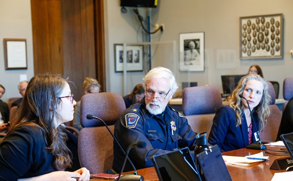
Boehnlein (BAYN-line) is outfitted in a black polo and olive green pants in some sort of really comfortable-looking tech material. He's at the front of the basement room, a room typically used for tax-preparation assistance, and he's fielding questions with tremendous poise — an even-keeled lieutenant for the People, if ever there was one.
What he's stressing to the foot soldiers (who, in their blaring orange "CLEVELAND PROPERTY SURVEY" tees, can't do much to ward off inmate associations) is that a photo is critical.
"Especially with the vacant and distressed properties," Boehnlein says. "It's really important to validate the data. For those, we need to be really careful and make sure we're getting that photograph."
Boehnlein seldom shortens "application" to "app" as he walks the foot soldiers through the process of saving photos to their devices' camera roll and then properly labeling them. He suggests exporting the photos to ESRI back at Famicos, using the stronger local Wi-Fi.
"To a certain extent, you just need to be patient with the technology," Boehnlein says, after Maldonado waxes tragic on the pitilessness of Wi-Fi towers and the limitations of bandwidth in general.
The past few days, mostly because of the glitches indexed above, the survey team has been averaging about 2,000 parcels per day (a tad off the ideal 2,400 per day pace), but Boehnlein says he's nonetheless really happy with the progress they're all making.
Back at the People's tactical base, (TCI offices on the corner of Lorain and West 25th), Jim Rokakis apprises Scene of the relevant wartime financials.
"This is going to be a loss, I fear," Rokakis says. Rokakis is, of course, the former city councilman and county treasurer who now, at 60, serves as the director of TCI and VP of the Land Conservancy. "We've known all along that there were going to be some projects where we had to rely on the philanthropy of others or of the Conservancy itself. We haven't raised 200 grand."
Two-hundred grand is the projected cost, and even after a "big grant" from the Cleveland Foundation, and $20,000 from City Council (specifically, casino revenue funds designated for Tony Brancatelli's Ward 12 and Kevin Kelley's Ward 13) — in large part, according to Rokakis, because city legislators wanted commercial and industrial properties surveyed alongside residential ones — some expenses remain. WRLC is paying the balance out of its own pocket.
Why? Because obtaining current, survey-based housing data is important to TCI, which has helped set up land banks in counties all over Ohio. That's become, shall we say, the organization's bread and butter, even though the land conservancy's 17-county footprint is technically only in the northeastern part of the state.
Paul Boehnlein, for instance, is down in Dayton during the last week in June setting up a concurrent GIS survey there. (He tells Scene he'll be as responsive as he can be to the Cleveland team by phone and email.) TCI has already conducted surveys for the cities of Akron, Oberlin, East Cleveland and parts of southeast Cleveland through a grant from the St. Luke's Foundation.
"And we have interest in getting this done in Columbus," says Rokakis. "We want to build a database that can be statewide, to give us a sense of just how serious the problem is. Part of why we do a lot of this is the fact that cities are broke. They can't do it. They don't have the money."
Rokakis means that cities don't have the money to act on survey results, i.e., they don't have the money for demolition, to stick it to Blight in a way that might turn the tide of the conflict.
Lieutenant P. Boehnlein is very careful to say that the survey, which grades properties on a traditional A-to-F scale, isn't recommending demolitions. (It's not as if all the vacant Ds and Fs will be flagged). It's purely observational. It's recon.
But Jim Rokakis isn't shy about stating his ultimate goals. In addition to fathering Ohio's land bank movement, he has also long campaigned for demolition-as-neighborhood-revitalization, and he's got persuasive stats. TCI has produced a report that shows a direct correlation between demolition and home values —Rokakis is fond of demonstrating the graphic relationship with his arms — and another report, "The Cost of Vacancy: Everybody Pays," which points out that as urban and inner-ring suburban home values go down, a greater tax burden must be shouldered by homeowners in the outer rings.
He uses those reports to mobilize support for demolition dollars. And if demos are your thing, Rokakis has done a bang-up job. Through lobbying and hardcore advocacy, he's managed to secure funding from three primary sources.
1) State attorney general Mike DeWine: After receiving $93 million from a massive national robo-signing settlement with five banks, DeWine allocated $75 million for demolitions. That $75 million leveraged an additional $47 million, Rokakis says. And though that pot has dried up, it was responsible for the demo of 14,500 properties statewide.
2) The "Hardest Hit Fund": Moneys from this special U.S. Treasury Department pool were intended to be disbursed by state agencies to fight and fend off foreclosure. (The housing-crisis war's most treacherous salient was Northeast Ohio, but it's a nationwide fight, make no mistake.) Rokakis produced a study, which itself cost $140,000, and which was shared with the White House at its request, to prove that when demolitions go up, foreclosures go down. Evidence thus provided, the funds were made available for demo. A total of $66 million was distributed by the Ohio Housing Finance Agency (OHFA) to Ohio counties in which land banks had already been established. The thinking there was that land banks were the most effective vehicle for fund disbursement at the county level.
3) Cuyahoga County itself: Though Rokakis professes not to have much of a relationship with former county executive Ed FitzGerald, he met with FitzGerald's staff to sound the alarm. At the 2014 State of the County address, FitzGerald announced that he'd be providing $50 million for demolition countywide, of which $13 million has already been made available.
"But it's not enough," Rokakis says. "It's not close."


